Sun Peaks Through the Clouds: A Brighter Outlook for the Coast This Tuesday
The Outlook for Tuesday, 17 February 2026
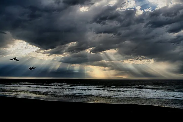
Residents across the Sunshine Coast can breathe a sigh of relief as the heavy downpours of the past few days finally begin to clear. After a week marked by severe weather warnings and flash flooding concerns in the wake of ex-Tropical Cyclone Koji, Tuesday, 17 February, brings a much-needed shift toward more stable conditions. While the early morning may still hold onto a few lingering damp patches, the overall trend for the day is one of clearing skies and pleasant coastal temperatures.
Morning: Lingering Showers and Humid Starts
The day is expected to begin with a 40 percent chance of light, passing showers, particularly for coastal suburbs such as Maroochydore and Caloundra. These early-morning sprinkles are unlikely to cause significant disruption, with rainfall totals forecast between 1 and 3 millimetres. Temperatures will start at a comfortable 21°C, though high humidity levels of approximately 86 percent may make the air feel slightly muggy at sunrise. For early commuters, some roads may still be slick from recent heavy rain, so extra caution is advised, especially in low-lying areas that were affected by minor flooding over the weekend.
Afternoon: Sunshine and Gentle Breezes
As we move into the afternoon, the remaining cloud cover is expected to break apart, giving way to predominantly sunny intervals. The mercury will climb to a pleasant maximum of 27°C, which aligns perfectly with the seasonal February average for the region. A gentle southeasterly breeze of about 19 kilometres per hour will provide some relief from the midday heat, with gusts potentially reaching up to 28 kilometres per hour near the shoreline. It is an ideal afternoon for outdoor activities, provided residents remain mindful of the saturated ground in local parks and hinterland tracks following the recent deluge.
Evening: Clear and Cool Conditions
The transition into the evening looks to be clear and calm across the region. Temperatures will dip back down toward a low of 19°C to 21°C, making for a refreshing night. Wind speeds are expected to drop significantly after sunset, and the chance of further precipitation falls to a negligible 15 percent. This stable pattern suggests that the immediate threat of further severe thunderstorms has passed for now, allowing for a peaceful night across the Coast.
Warnings and Residual Alerts
While the immediate forecast for Tuesday is positive, it is important to note that a general flood watch remains in place for parts of Southeast Queensland. Following the heavy rainfall events recorded between February 13 and 15, local catchments remain near capacity. Residents should continue to monitor local updates for any residual creek warnings. There are currently no active severe wind or thunderstorm warnings in place for the Sunshine Coast district today, but authorities remind drivers to stay vigilant around causeways where runoff may still be occurring.

Lunar New Year Celebrations and Digital Art Take Over the Sunshine Coast Today

Coast Morning Briefing: Storm Watches, Tiny Miracles, and Big Rail Debates
Delays on Steve Irwin Way and Heavy Coastal Traffic for Tuesday Commute