Umbrellas at the Ready: Showers and Cyclone Watch for the Sunshine Coast

Wet Start to the Autumn Equinox
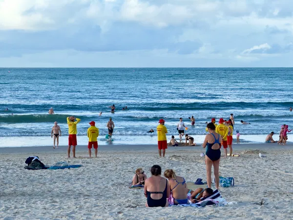
Residents across the Sunshine Coast should keep their umbrellas close today, Friday, 20 March 2026, as a moist tropical flow brings persistent showers and the risk of isolated thunderstorms to the region. With the Autumn Equinox officially arriving, the transition in seasons is making itself felt through a significant increase in humidity and unstable atmospheric conditions across South East Queensland.
Morning: Damp and Humid Conditions
The day began with a thick blanket of clouds and high humidity levels reaching up to 96%. Morning temperatures started at a mild 18°C, with light rain already recorded in several coastal suburbs. Commuters are advised to exercise caution on the roads, as misty conditions and damp surfaces may affect visibility and braking distances during the early hours. There is a 50% chance of ongoing light rain throughout the morning period, with visibility reduced in areas of heavier mist.
Afternoon: Storm Potential and Temperature Peaks
As we head into the afternoon, the mercury is expected to reach a maximum of 24°C. While the temperature remains comfortable, the humidity will likely make it feel warmer. Weather models indicate that shower activity will intensify after midday, with a risk of isolated storms developing as a southeasterly change moves through the region. These storms may bring heavier localized falls, so keeping an eye on the latest radar imagery is highly recommended for those planning outdoor activities.
Evening: Showers Ease into Partly Cloudy Skies
By this evening, the chance of precipitation drops to approximately 20%. The heavy cloud cover is expected to break, leading to partly cloudy conditions overnight. Temperatures will settle around 21°C, providing a relatively warm and muggy night. Winds are expected to remain light, primarily coming from the east, though gustier conditions may occur in the vicinity of any afternoon storm cells.
Special Notice: Tropical Cyclone Narelle Monitoring
Authorities and meteorologists are currently keeping a close watch on a tropical low in the Coral Sea. This system has the potential to develop into Tropical Cyclone Narelle over the coming days. While there is no immediate threat to the Sunshine Coast today, the "Get Ready Queensland" initiative has updated its advice, encouraging residents to review their emergency kits and stay informed through official disaster dashboards. Key preparation steps include:
- Clearing gutters and downpipes of debris.
- Securing loose outdoor furniture and equipment.
- Ensuring battery-powered radios are ready for use in case of power outages.
- Monitoring local radio stations for official weather updates.
The current neutral weather pattern is predicted to shift toward an El Niño phase later in 2026, but for now, the focus remains on the immediate tropical activity off the Queensland coast.

Sunshine Coast Morning: Surf Vibes, Rail Milestones, and Candlelight Magic

Heavy Delays on Steve Irwin Way and Maroochydore Bus Detours This Friday

Public Notice: Ride2School Day, Infrastructure Upgrades and Health Alerts