Stormy Friday: Scattered Thunderstorms to Roll Across the Sunshine Coast

Wet Weather Expected for the Working Week's End
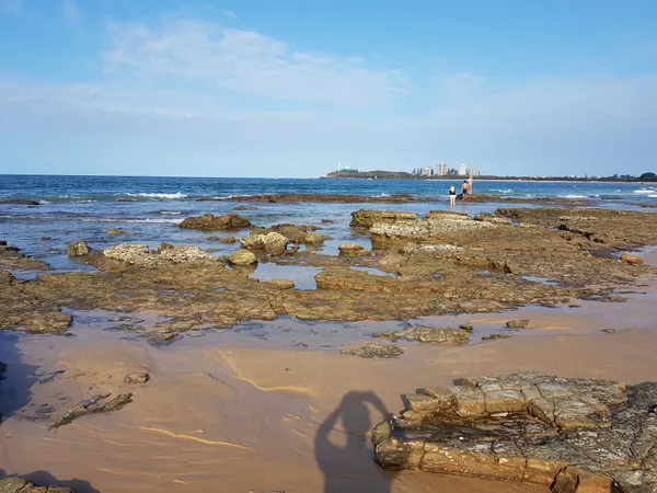
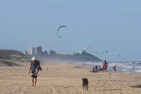
Residents across the Sunshine Coast should keep their umbrellas within reach today, Friday, 6 March 2026. After a week of relatively varied conditions, a moist and unstable air mass is moving across the region, bringing a significant chance of precipitation and the potential for thunderous developments by this afternoon. While the day may start with glimpses of the sun, the prevailing forecast suggests a damp and humid finish to the week.
Morning: A Humid Start with Increasing Cloud
The day is expected to begin with a minimum temperature of approximately 22°C to 24°C. Early risers may have noticed a heavy layer of scattered clouds and high humidity levels, currently sitting at around 87%. While the early morning hours remain mostly dry, the atmosphere is building toward instability. Morning commuters can expect light breezes from the east to northeast at approximately 10 mph (16 km/h), providing little relief from the muggy conditions as the sun rose at 5:43 am.
Afternoon: Peak Storm Potential
As we head into the afternoon, the mercury is set to climb to a maximum of 27°C to 28°C. This increase in temperature, combined with the high humidity, will likely trigger scattered thunderstorms across the Coast. Forecast models indicate a 50% chance of rain during the daylight hours, with the most intense activity expected between 1:00 pm and 4:00 pm. While no official severe weather warnings have been issued by the Bureau of Meteorology as of this morning, localized heavy falls and gusty conditions are possible during any storm activity. The UV index remains at a 'Moderate' level (5), so sun protection is still recommended during breaks in the cloud cover.
Evening and Night: Tapering to Light Rain
Following the afternoon's potential for storms, the weather is expected to transition into a more consistent pattern of light rain and drizzle as evening approaches. The sunset at 6:14 pm will mark the beginning of a cooling trend, though overnight temperatures will remain mild, bottoming out at 22°C. The probability of rain will decrease slightly to 35% overnight, though overcast conditions will likely persist into Saturday morning.
Today’s Forecast at a Glance
- Maximum Temperature: 28°C
- Minimum Temperature: 22°C
- Rainfall: 50% chance of showers and thunderstorms
- Wind: Easterly at 10 to 15 mph
- Humidity: Average of 87%
- UV Index: 5 (Moderate)
Motorists are advised to take care on the roads, as the initial rainfall following a dry spell can lead to slippery surfaces. Stay tuned to local updates if storm activity intensifies later today.
St. Paddy’s Day and Surf Culture: What’s On Today in the Sunshine Coast
Green Pints, Smooth Ramps, and Clear Skies: Your Sunshine Coast Tuesday Briefing

Commuter Alert: Major Rail Shutdown and Mooloolaba Traffic Impacts This Tuesday