Thunderstorms and Tropical Humidity: A Damp Friday for the Sunshine Coast
A Stormy End to the Week
The Sunshine Coast is bracing for a humid and potentially volatile weather day this Friday, 27 February 2026. Following a month of significant rainfall influenced by recent tropical activity—including the legacy of systems Fina, Hayley, and Koji—the region's soil moisture remains high. This Friday, a moist tropical air mass continues to sit over Southeast Queensland, bringing with it the classic summer combination of high temperatures, significant humidity, and the risk of afternoon electrical storms. Residents should keep their umbrellas close and monitor local radar as conditions are expected to shift rapidly throughout the day.
Morning: A Muggy and Overcast Start
The day is set to begin with heavy cloud cover and a palpable sense of moisture in the air. Early morning commuters can expect humidity levels to peak at a staggering 93%, making the starting temperature of 23°C feel considerably warmer—closer to 27°C in real-feel terms. While significant rainfall is not expected during the early hours, there is a high likelihood of patchy light drizzle and misty conditions, particularly along the coastal strip from Noosa down to Caloundra. The light south-easterly winds will do little to cut through the mugginess, so residents are advised to plan for a slow and humid start to their morning activities.
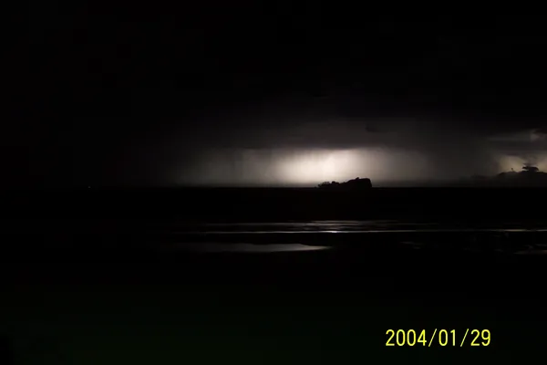
Afternoon: Thunderstorm Risk Peaks
As the day progresses and the temperature climbs to its forecast maximum of 26°C, atmospheric instability is expected to increase. By early afternoon, the Sunshine Coast is predicted to see scattered thunderstorms developing across the hinterland and moving toward the coast. These storms are expected to be typical for the late summer season—localized but potentially intense, bringing sharp bursts of rain and frequent lightning. There is a 50% chance of precipitation during this window. Those with outdoor lunch plans or school pickups should be prepared for sudden downpours. While no major wind warnings are currently active, the Bureau of Meteorology suggests staying alert for standard thunderstorm hazards, including localized flash flooding in low-lying areas.
Evening and Night: Lingering Showers
Thunderstorm activity is expected to taper off as the sun sets, but the wet weather will not disappear entirely. The forecast for Friday evening indicates a transition to consistent light rain and overcast skies. Temperatures will remain mild, dropping only slightly to an overnight low of 23°C. Humidity will remain high, hovering around 84%, ensuring a warm and sticky night for the region. With the chance of rain remaining at 50% through the late hours, motorists should expect damp roads for the evening commute and late-night travel.
Friday Forecast at a Glance
- Maximum Temperature: 26°C (79°F)
- Minimum Temperature: 23°C (73°F)
- Humidity: 84% to 93% throughout the day.
- Chance of Rain: 50% (approximately 1.8mm predicted).
- Conditions: Scattered thunderstorms during the day, transitioning to light rain at night.
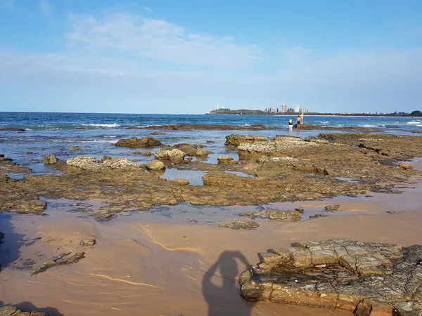
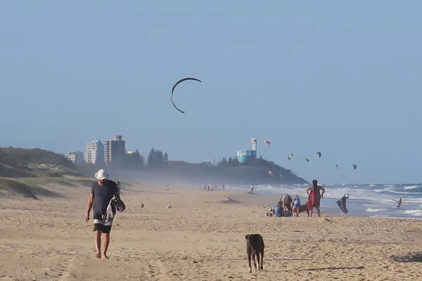
For those heading to the beaches, please note that while the sea temperature remains a pleasant 26°C, the risk of lightning and reduced visibility during storms makes the water potentially hazardous. Always swim between the red and yellow flags and follow the instructions of local lifesavers during weather events.
St. Paddy’s Day and Surf Culture: What’s On Today in the Sunshine Coast
Green Pints, Smooth Ramps, and Clear Skies: Your Sunshine Coast Tuesday Briefing

Commuter Alert: Major Rail Shutdown and Mooloolaba Traffic Impacts This Tuesday